

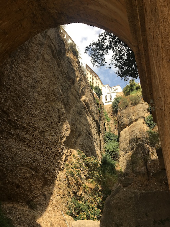
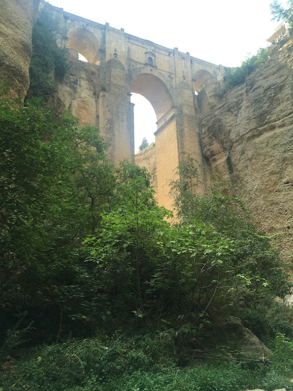
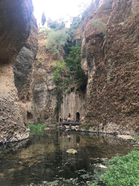
The Roads of Ronda is a moderate difficulty excursion taking place on Sunday November 12th. It is part of our continuing preparation towards level two, which we expect to reach by Christmas. The 16 km route which includes 500 meters of ascent, will take approximately 5 hours. Afterwards, we’ll go onto eat in the city of Ronda and visit the gorge area by the river Gua Dalevin under the new bridge. We will return by bus leaving Ronda at 19.00 hours.
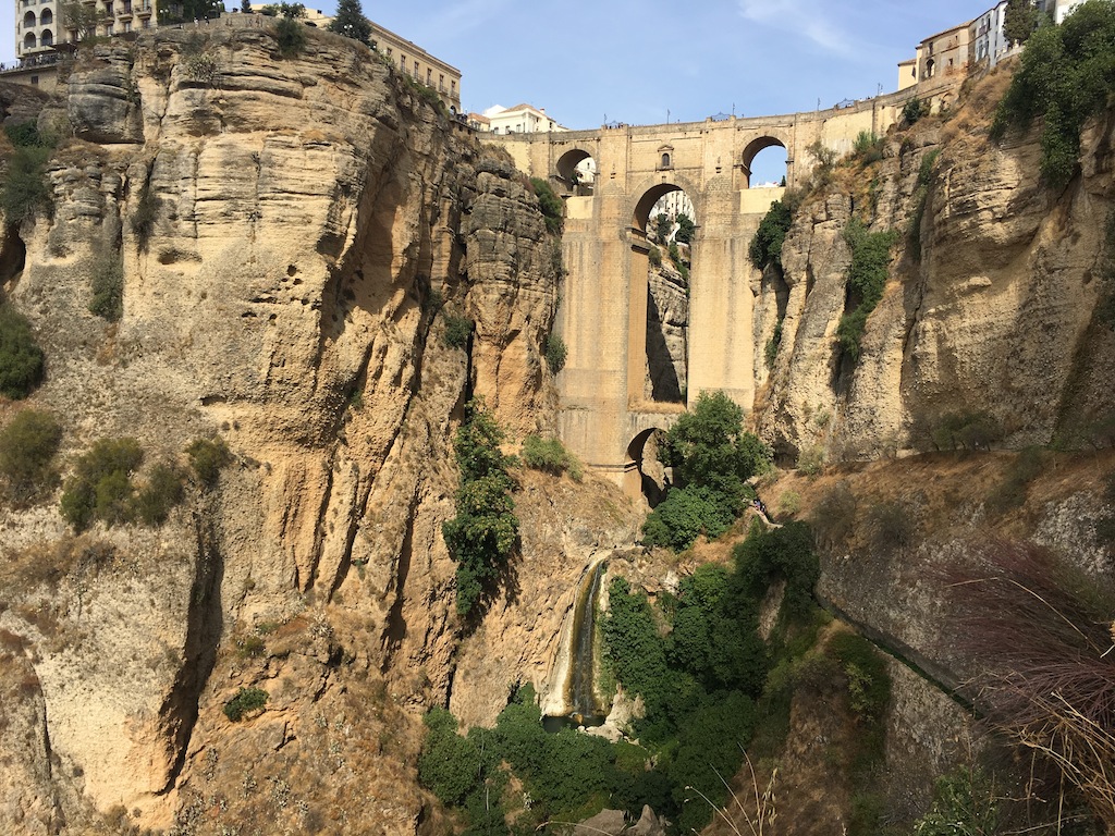
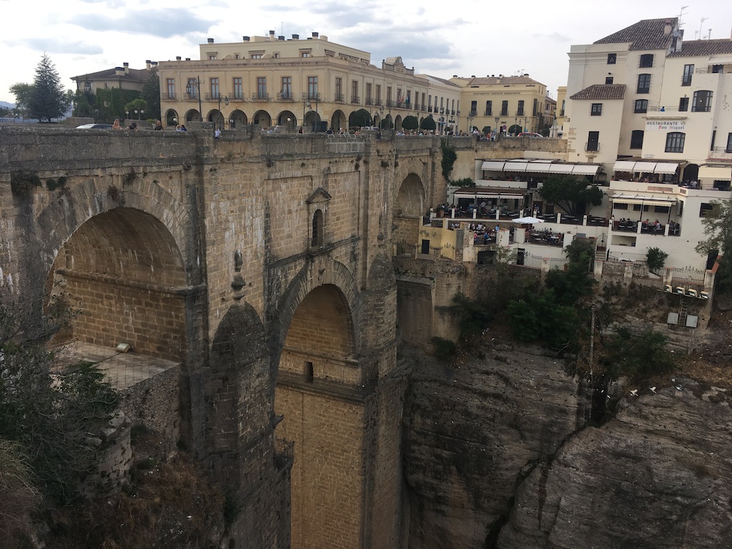
Puente Nuevo de Ronda
Ronda is an ancient city located in the province of Malaga, which is both beautiful and historic. It has been a city of bandits and bullfighters, and inhabited in its time by Romans, Visigoths and Muslims due to its strategic position, dominating the gateway to Lower Andalusia. There are well preserved traces of its rich and varied history.
Ronda Ciudad Milenaria
It’s going to be a long day, with the bus pick ups in Seville at 07.00 in the Grand Plaza, 07.15 in José Laguillo (opposite the hotel Catalonia Santa Justa) and 07.30 a.m. in Brewery Ronda El Alamillo. If you are coming by car, meet at 10.30 in the Calle San Acacio, located in San Francisco Ronda. The GPS coordinates are 36.731567,-5.164451, with a picture shown below.
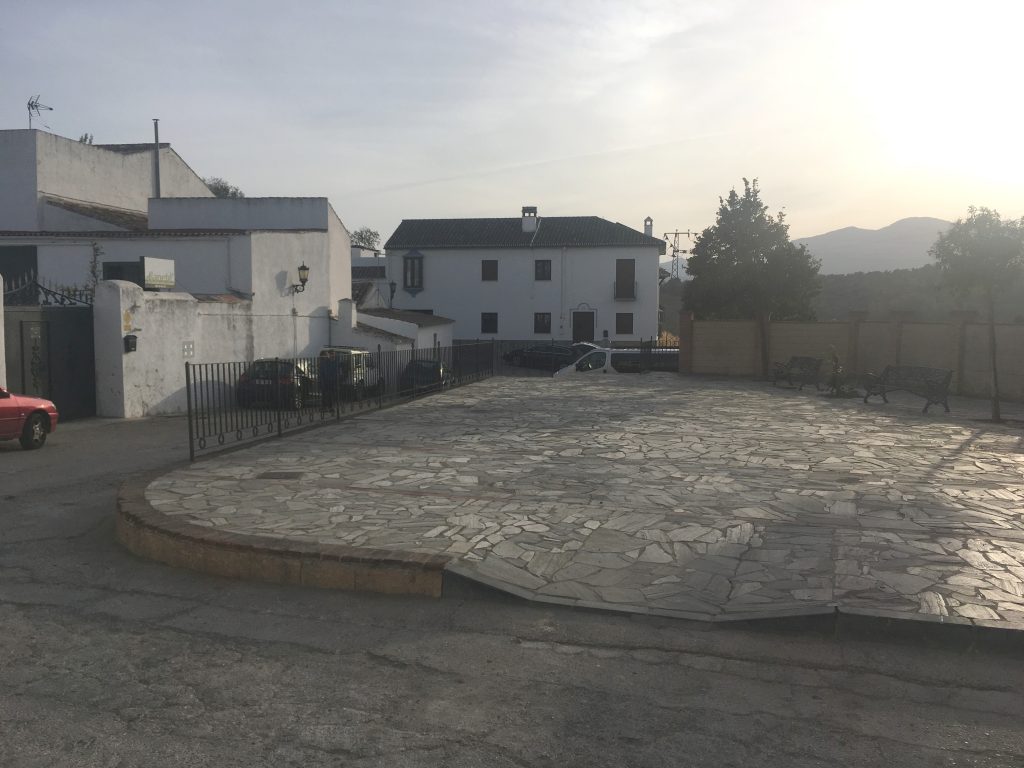
Punto de encuentro
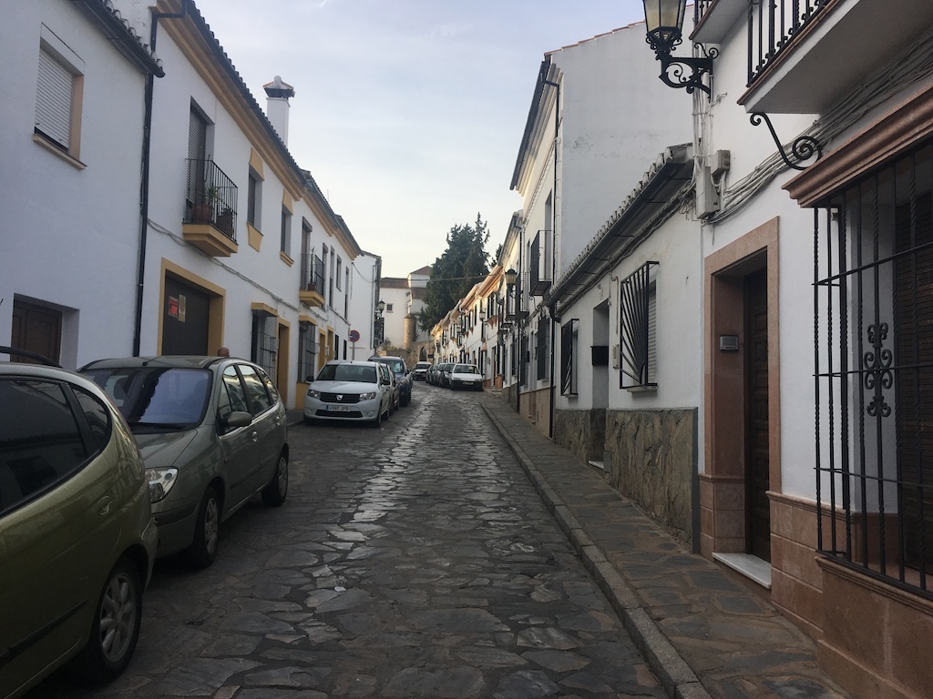
Barrio de San Francisco
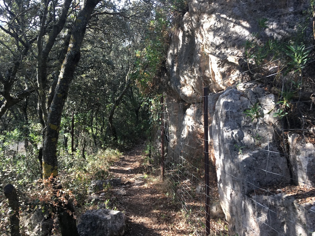
We will walk a good way along the path that runs parallel to the “stream of the snakes” (arroyo de las Culebras) until we reach the Pilon de Carajima . We’ll stop there and rest and can replenish water bottles.
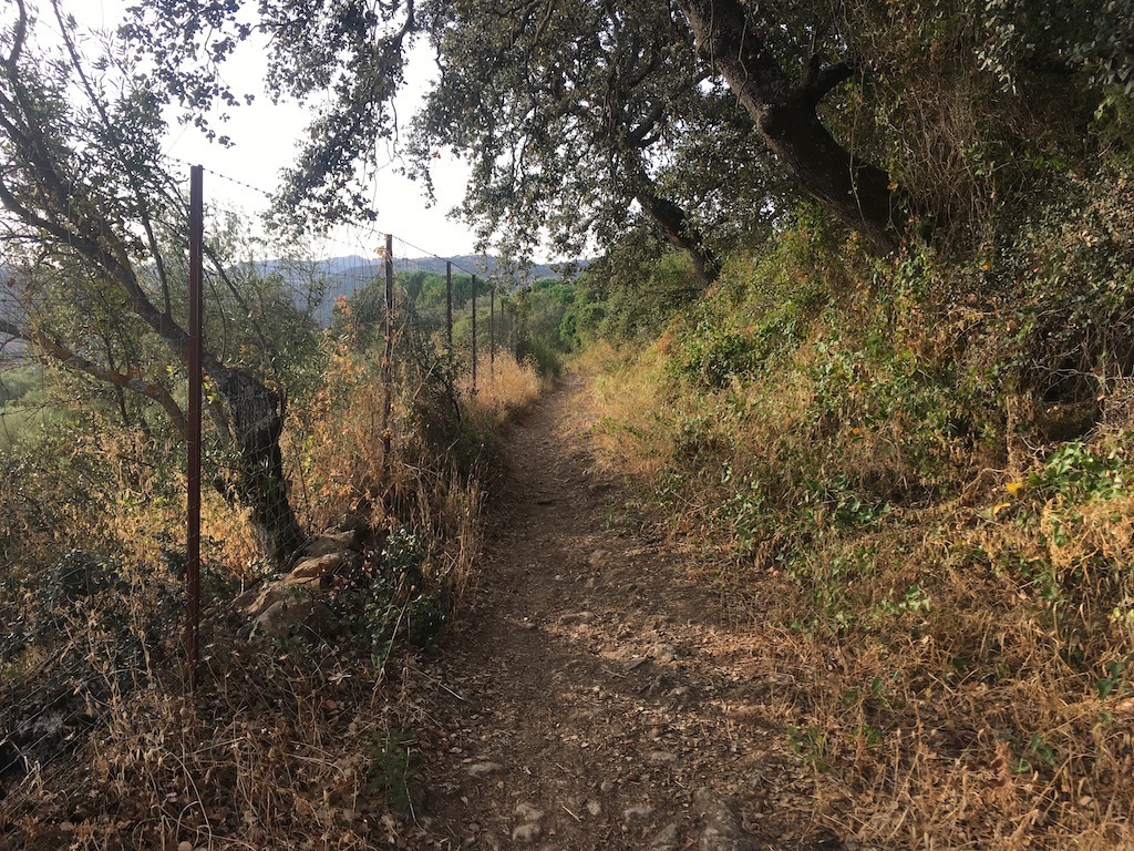
Empieza la caminata
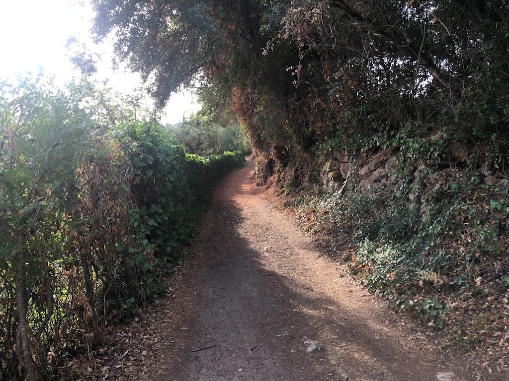
Camino junto al Arroyo Culebra
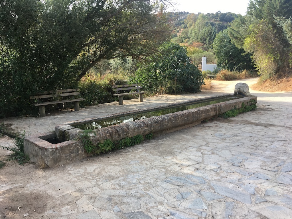
Pilón de Cartajima
From there we climb to the Cerro del Cincho where we will have a beautiful view of the mountains. We cross over to start a demanding climb taking us into the Sierra, and after crossing several gates we reach the Tajo del Abanico.
Después de beber sigue la caminata
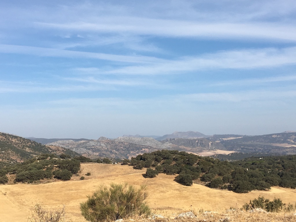
Vista desde el Cerro del Cincho
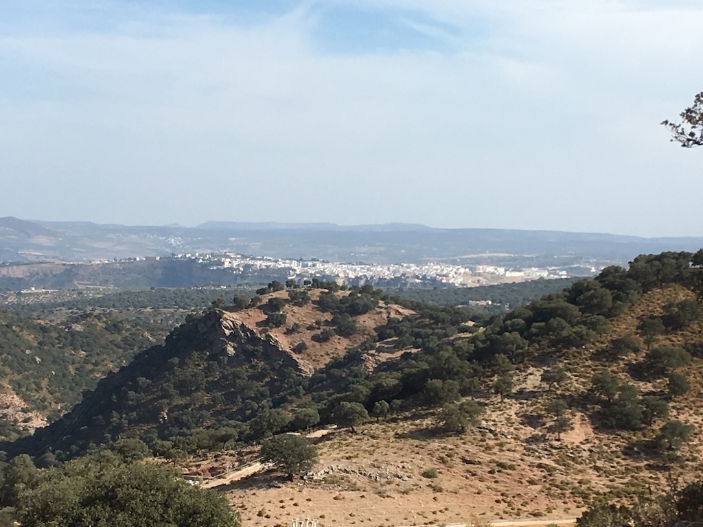
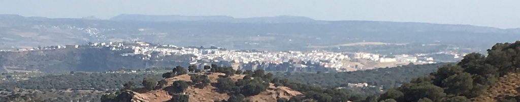
Vista de Ronda desde la sierra
Between Tajo del Abanaico and Cueva de los Aviones we travel along a medieval paved road running parallel to the stream of the Arroyo de los Chopillos. It is an area of great beauty and ideal for photography. The gorge’s vast shape and size has been caused over millenia by the movement of water.
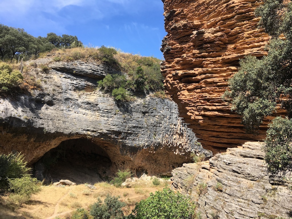
Cueva de los Aviones
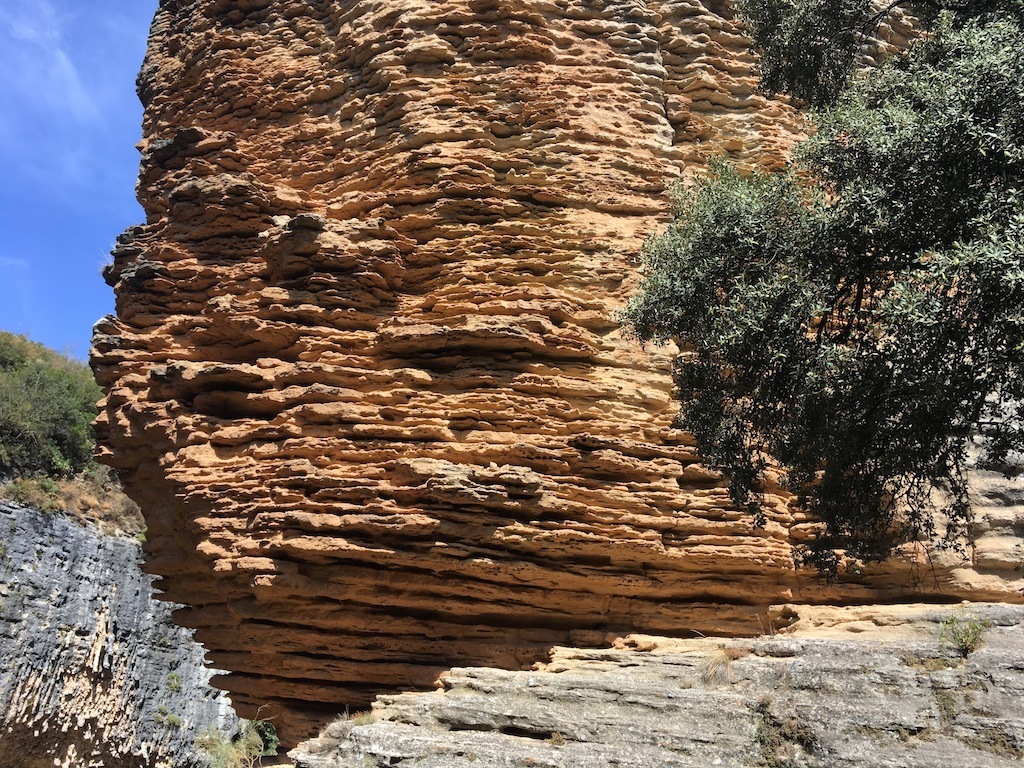
Tajo del Abanico
From there, we will have about 4 km of climbs and descents to reach the city of Ronda, certainly no later than 15.30 ready for our meal, followed by our visit to the gorge.
-

Puente Nuevo Ronda
-
Puente Nuevo
-
Laguna bajo el Puente Nuevo
This beautiful all inclusive excursion costs €32 including the bus (€24 if a group member) or €20 if you use your own transport (€12 for group members). Or for just the walk the cost is €8 (free for group members).
In all cases you must register. Payment should be made via transfer to our account: Caixa Bank ES49 2100 7816 2902 0006 5540, please send us the receipt at info@senderismosevilla.net together with your full name, ID number (passport number and nationality if no Spanish ID), date of birth and a contact mobile number.
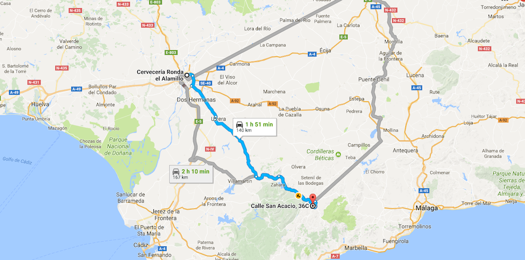
Recorrido desde Sevilla
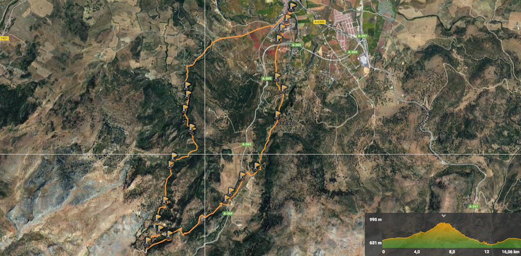
Track de la Ruta